10M, 25K, 50K
September 26th 2026
*Registration is OPEN / Race Swag Guaranteed through Aug 29th
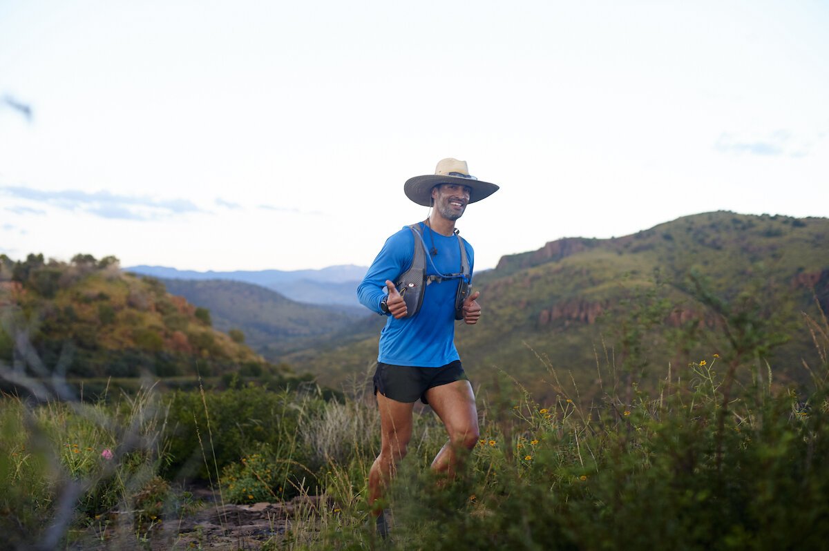
Sky Island (9th annual)

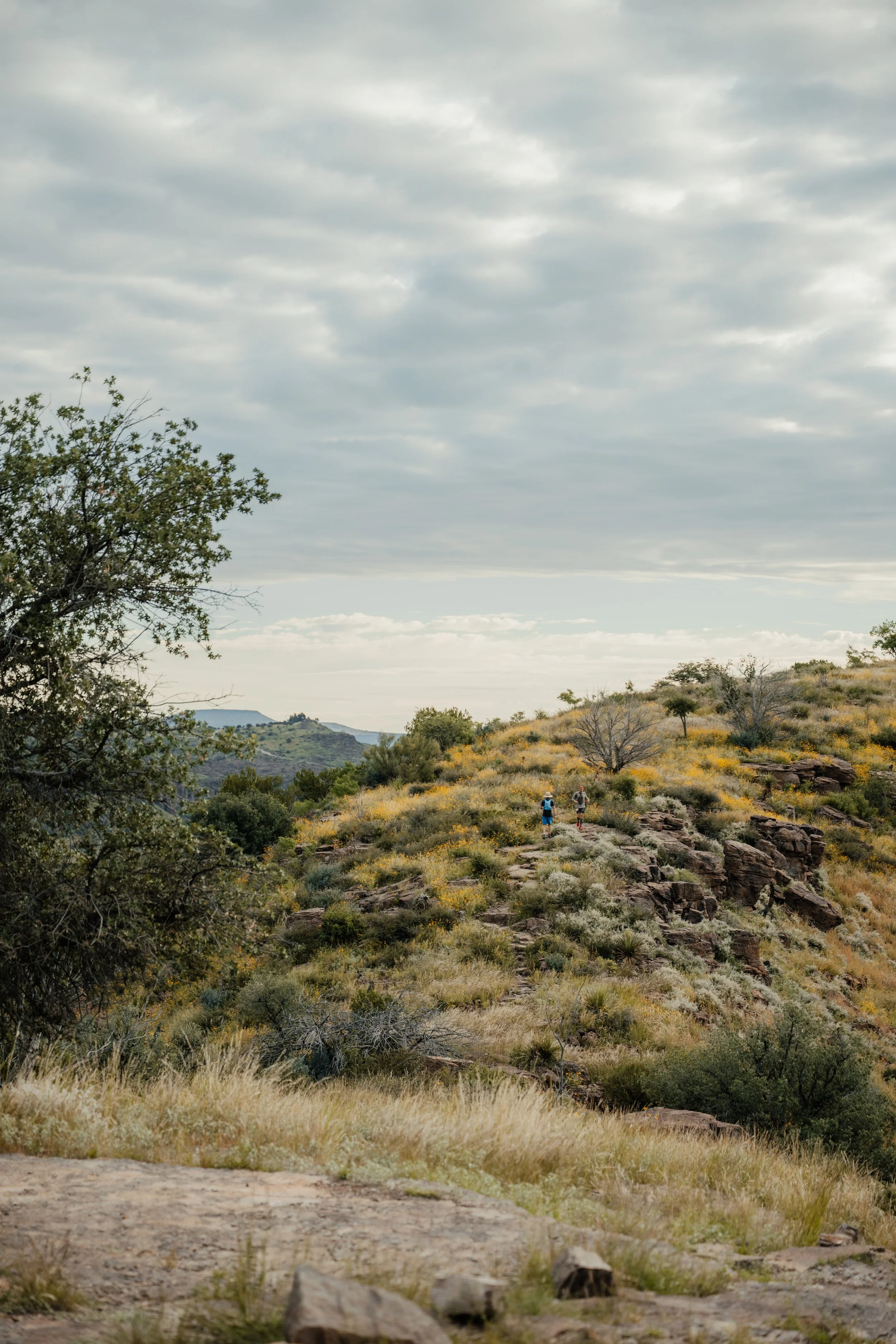
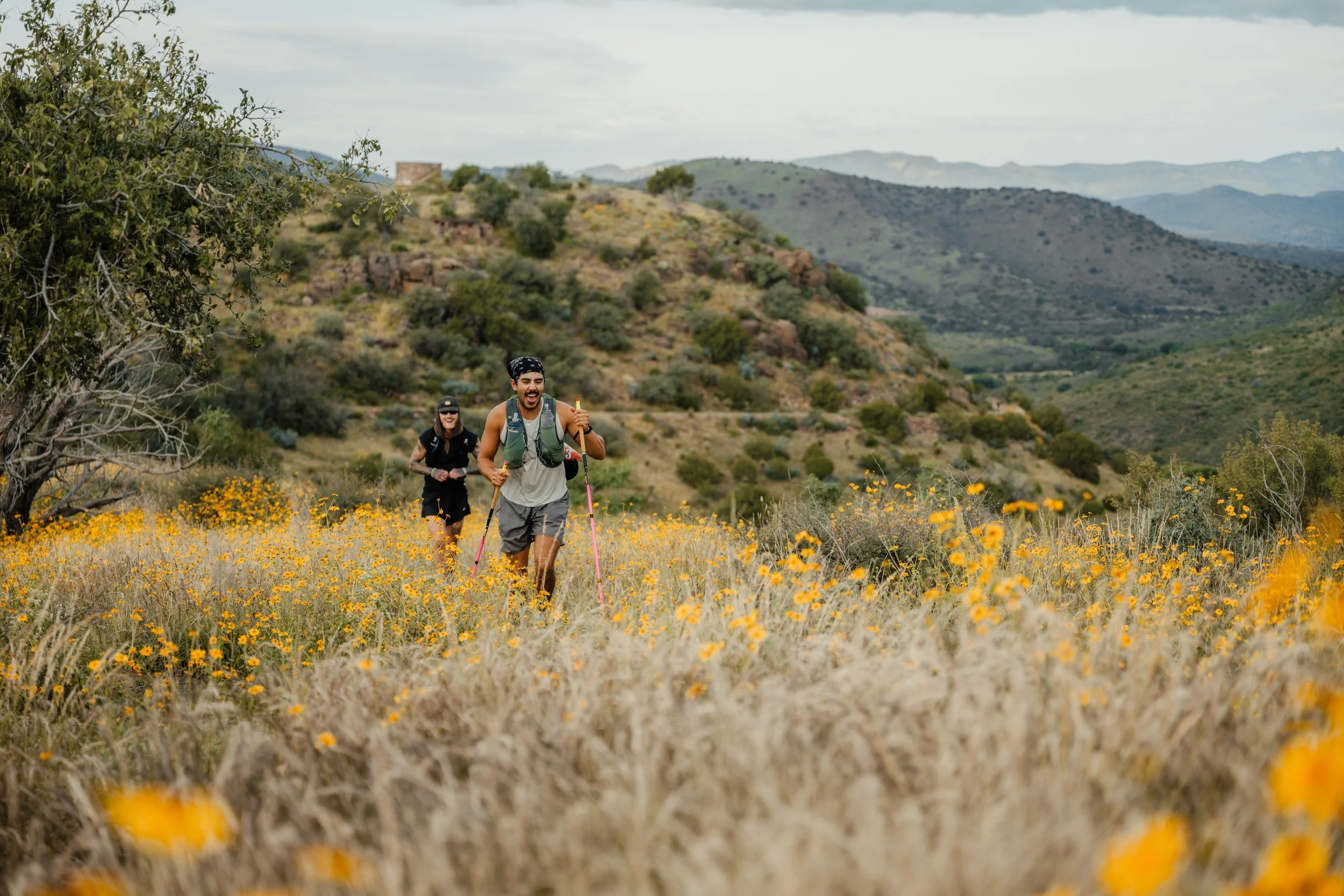
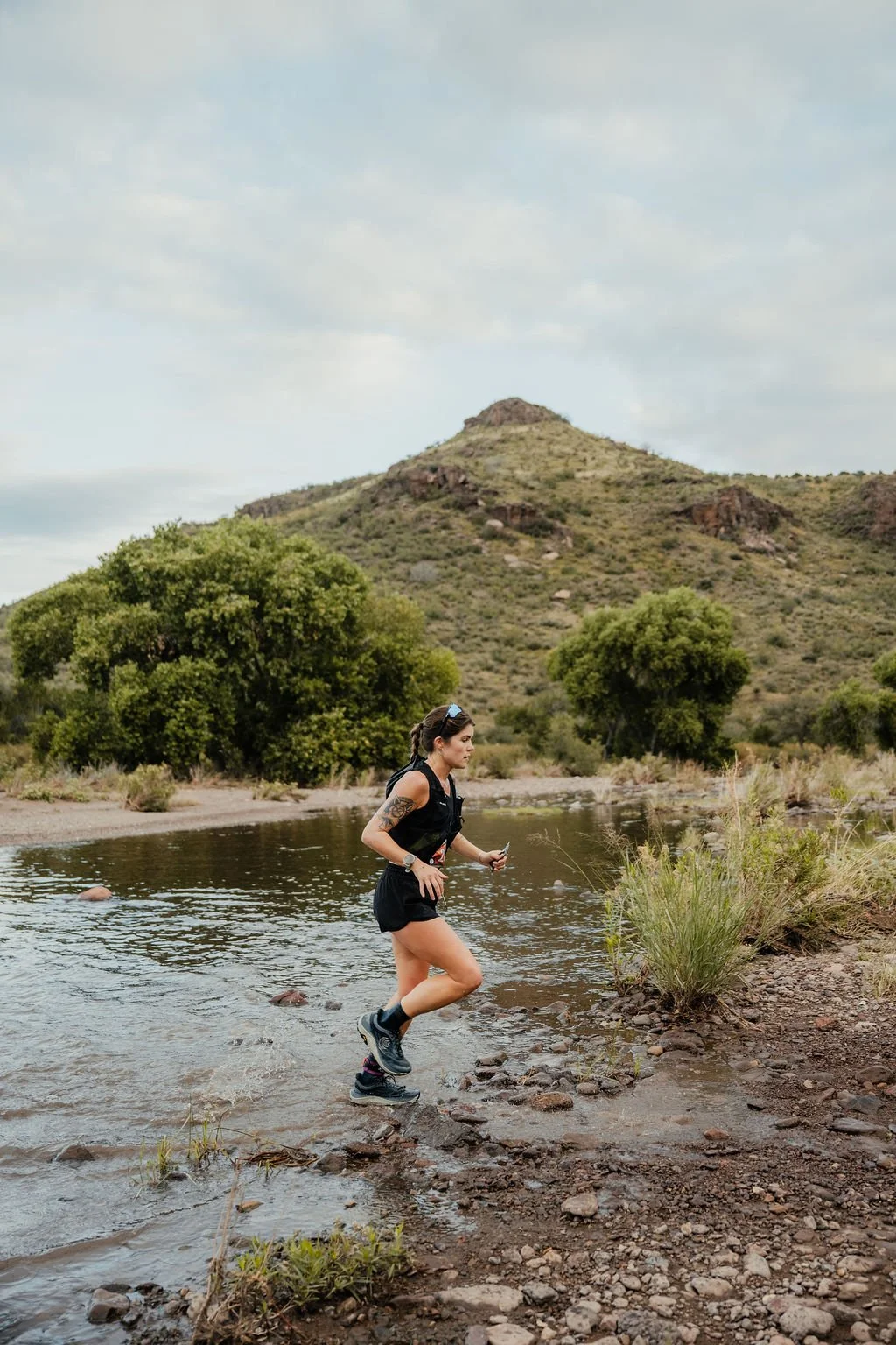
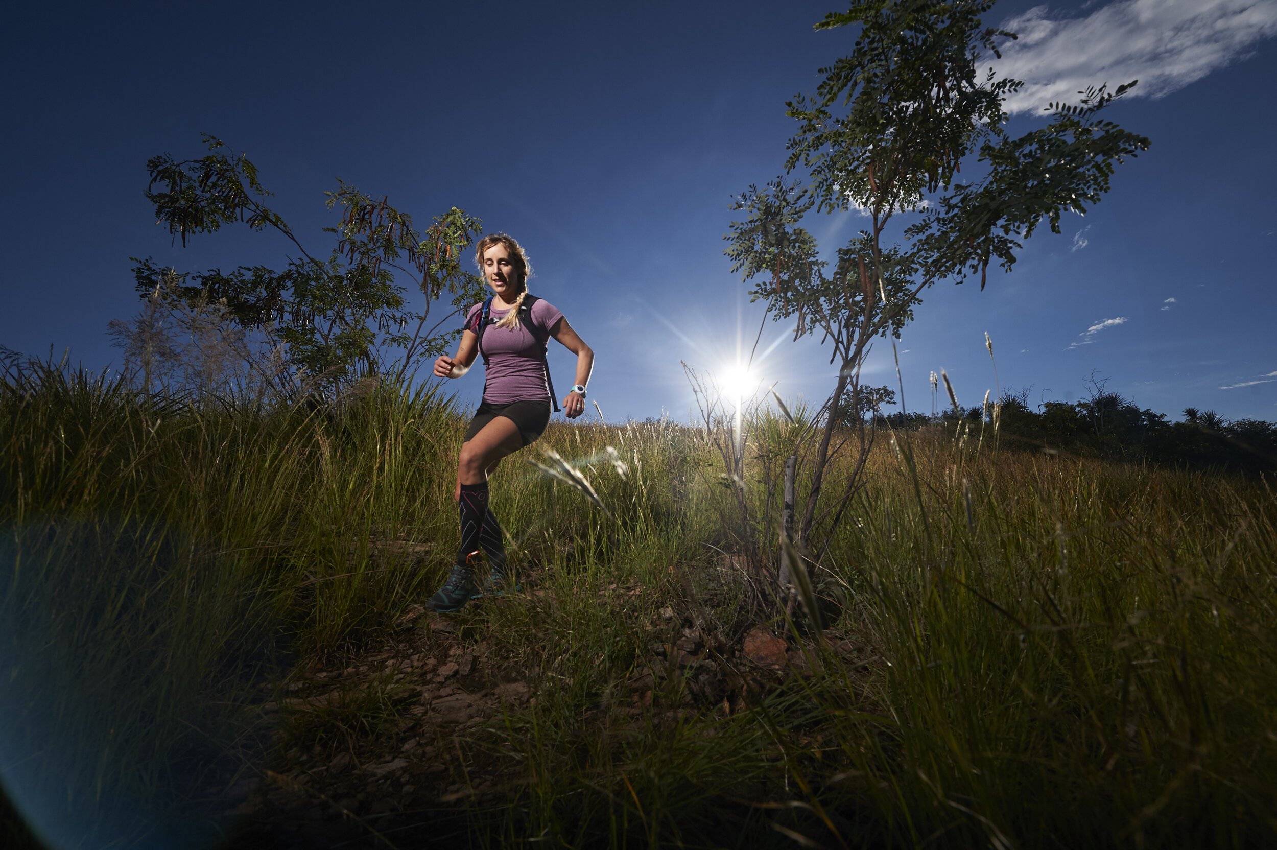
On a fall weekend in west Texas, a little race called Sky Island takes place. We gather to test ourselves on rugged mile-high trail and celebrate under the brightest stars, because at the end of the day…. nothing else matters. This race course boasts views of Fort Davis, McDonald Observatories, Indian Lodge, and a seemingly endless sky. Sky Island was created in 2015 with one goal: to bring trail runners out to play in the mountains. We dreamed it would feel like summer camp, a place to gather every fall, in the middle of the high, west Texas desert.
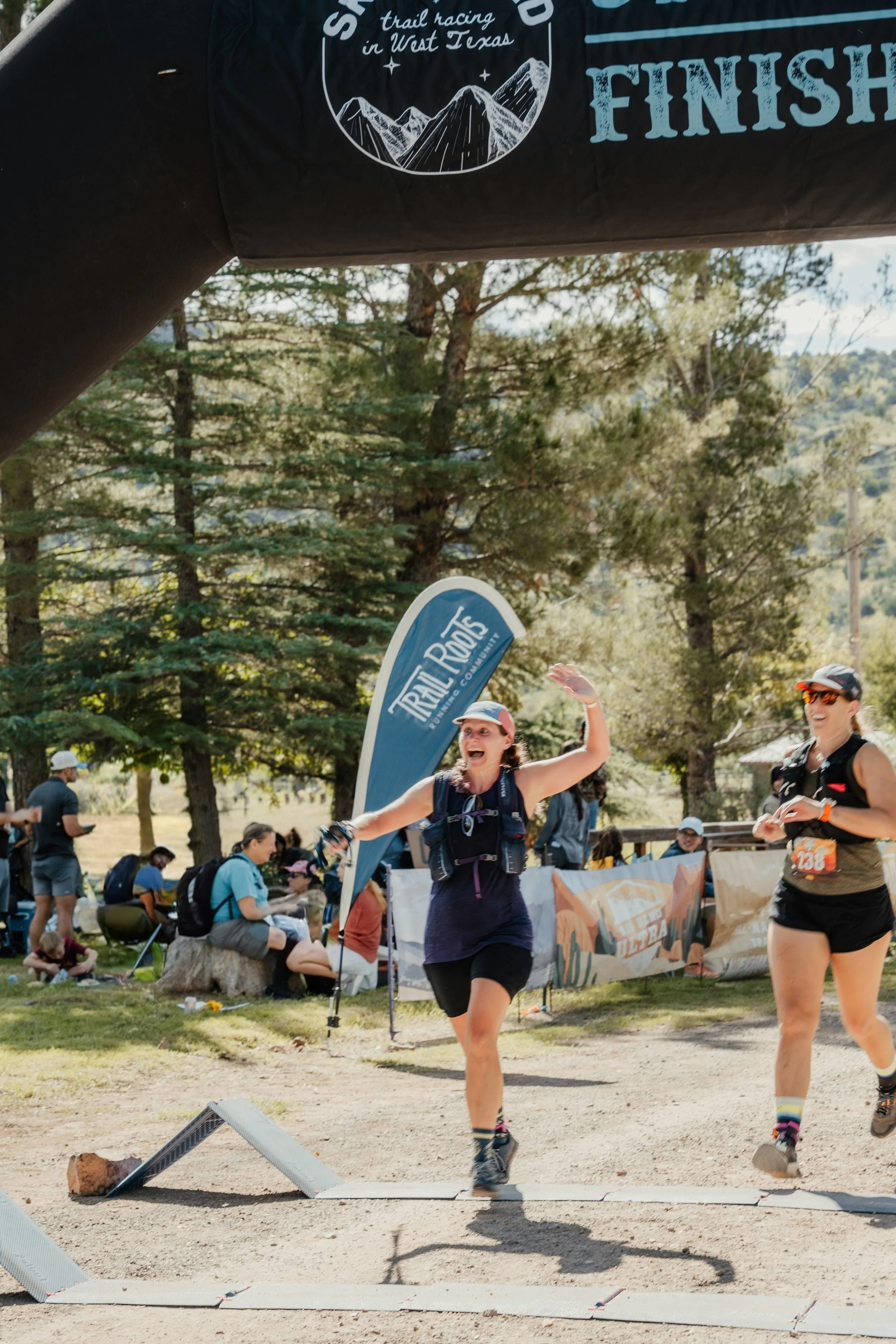
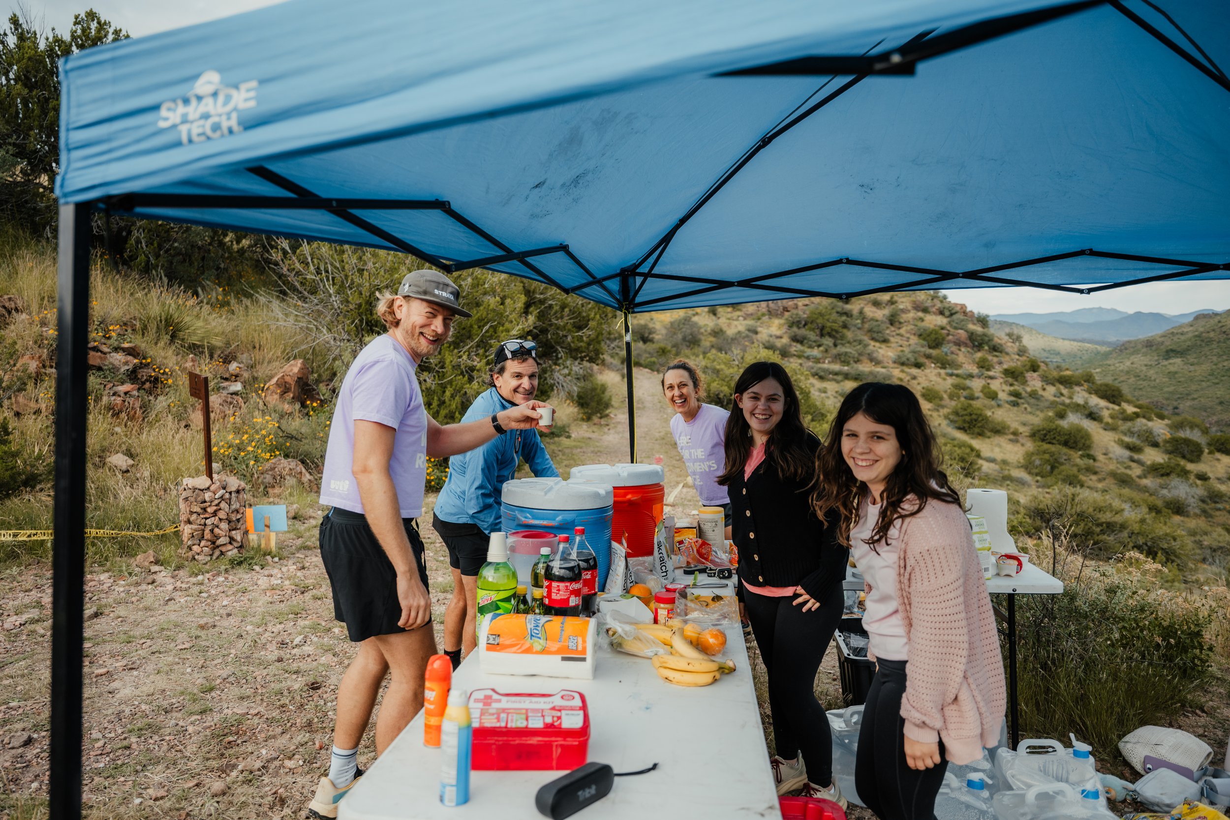
All finishers receive an finisher medal and a post race meal! Make sure to hang on to your bib because its your meal ticket.
Awards: 1st M/F winners in each race & 1st M/F masters category. 2nd & 3rd overall will also receive an award
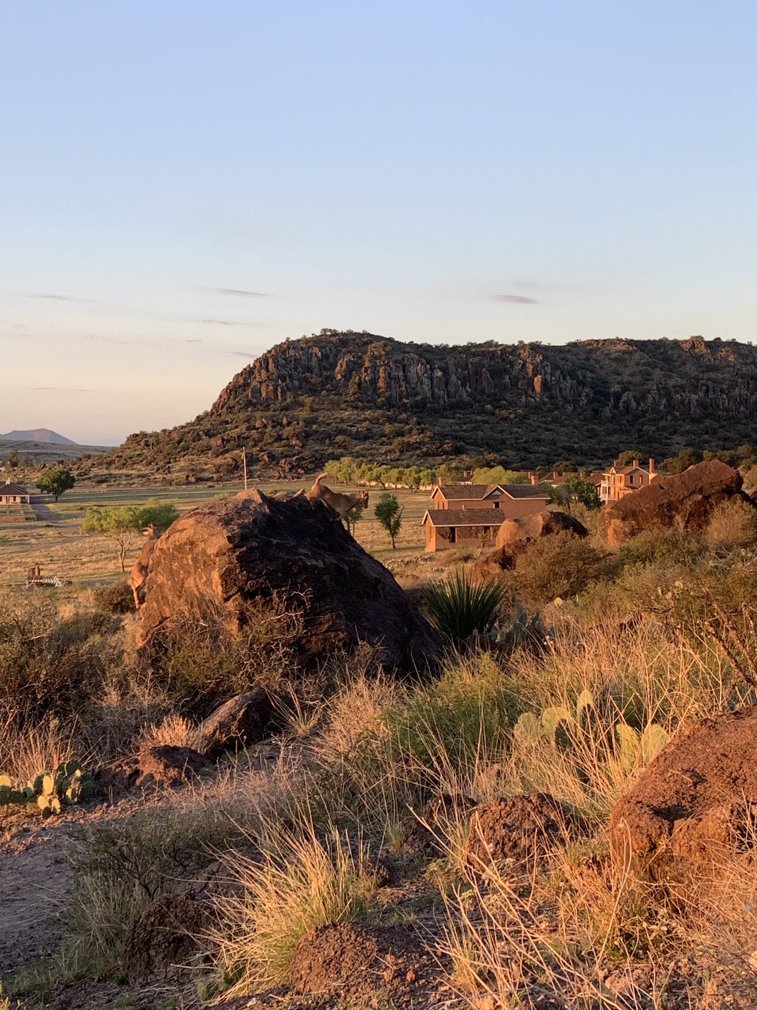
Davis Mountains State Park & Prude Ranch
All runners share the start and finish at the Prude Ranch adjacent to the Davis Mountains. The Davis Mountains form one of only three unique sky islands in Texas—a cooler, wetter landscape surrounded by arid lowland desert.
Kick it with us
We reserve the entirety of Prude Ranch and Indian Lodge for this event. Space fills quickly, but this ensures runners have an option for on-site accommodation with space to gather with family and friends for festivities!
Pre-race group meal
Finisher meal
Rooms, cabins, camping, RV sites with hook ups, and bunkhouse style lodging
Options for everyone, such as: swimming, horseback rides, climbing, and tennis
Or see other nearby accommodations
What’s a “Sky Island”?
Imagine an ocean of burning desert surrounding a fortress of cool, emerald peaks. The Davis Mountains are one of just three Sky Islands in Texas. Here, you won't just run; you’ll travel through entire biomes in a single day. The landscape shifts between sun-drenched desert scrub and high-altitude pines, stream crossings, and hundred mile vistas. This isn't just a race; it’s a journey to an island in the sky.

Maps & Course Info
Drop bags for The Park Entrance Aid & Skyline Aid stations. Must be dropped off by 6pm Friday at Packet Pick up in a bag with your name and race number. Bags will be returned to the start/finish line at 5pm on post race. We allow drop bags for the Park Entrance aid station for the 50K only. Keep in mind that we can’t guarantee returning your gear. You may drive to the aid station to pick up your own gear after your race. See the calendar on each race page to determine time and location for drop bag drop off.
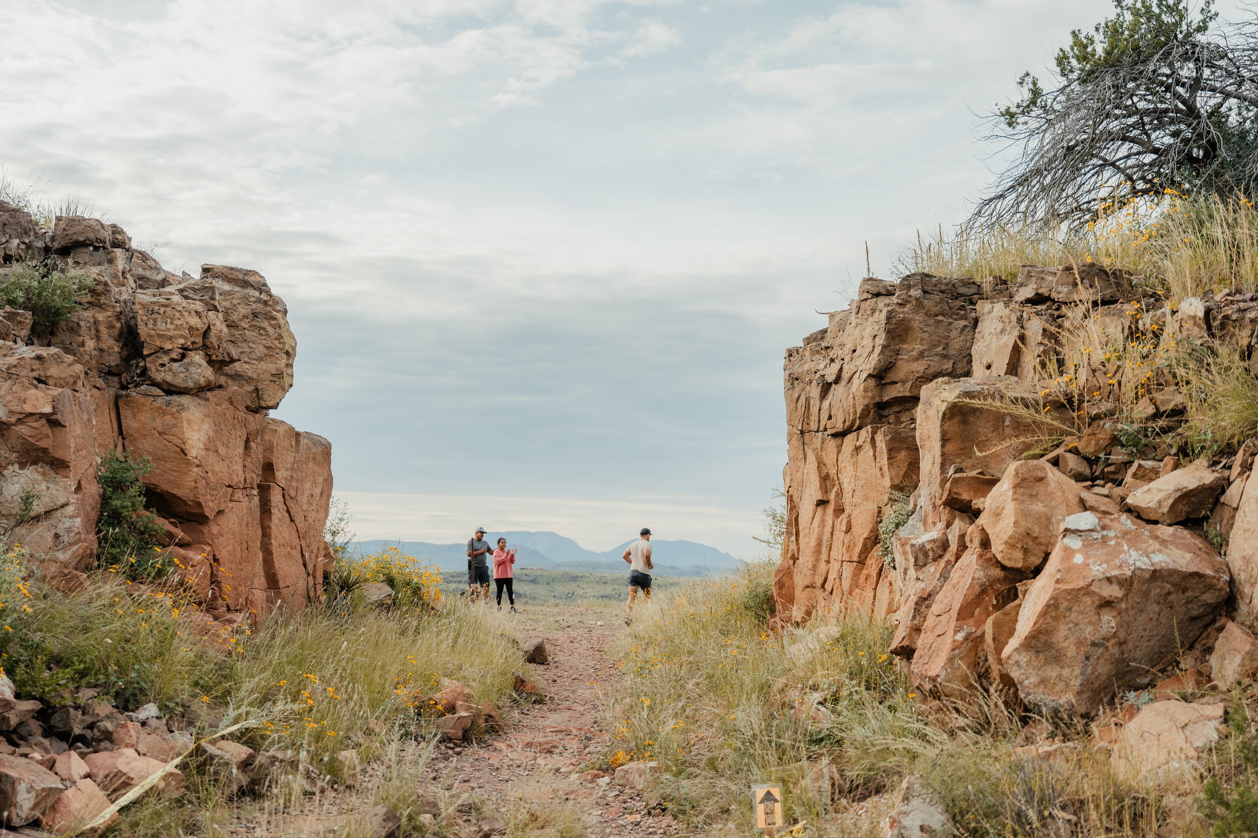
Spectators and crew can access the Park Entrance, Camp (very limited parking options), and Skyline aid stations by vehicle. When visiting at an aid station, you must follow all state park signage. Skyline aid station does require a short but rocky 150 meter hike.
50K* - 3901’ gain | map | stations | cX: 244.3.0 / Very Hard
*Actual mileage = 31.1 miles
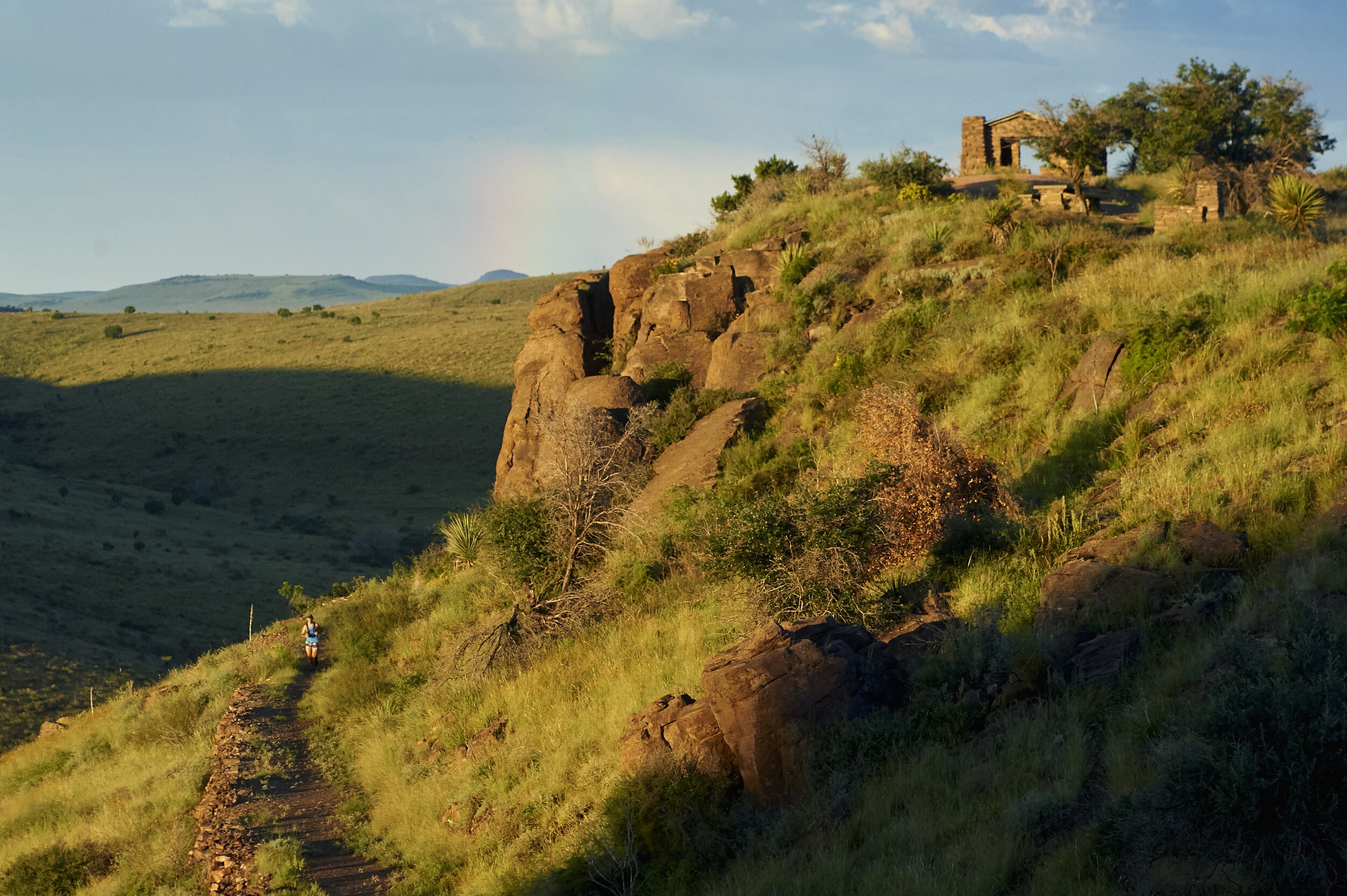
The 50 kilometer course starts and finishes at Prude Ranch. The first 5 miles will have 800 feet of climbing, then a flat(ish) couple miles before descending down into Sheep Pens Gulch. You’ll cross under the highway, then enter Davis Mountains State Park. The Montezuma Quail Trail takes you up to our steepest section of the course: the Indian Lodge climb! You’ll run to the top of the climb and drop down behind the Indian Lodge. From there you’ll cut through the Indian Lodge parking lot and onto the park road for just over 1/2 mile. Take a right onto Skyline drive where you’ll connect to the Old CCC trail entrance. The race course will take you up the Old CCC trail to Skyline and then make our classic loop through Fort Davis (past all the old historic buildings) and back down the Skyline trail. You’ll retrace your steps back under the highway, and then back through the Primitive loop the same way you started.
25K* - 2050’ gain | map | stations | cX: 220.8 / Very Hard
*Actual mileage = 16.5 miles / a TEXAS sized 25K
The 25 kilometer course starts and finishes from Prude Ranch. This course has three noteworthy climbs (check the elevation profile). You’ll begin with a burley 500 foot climb, then descend down into Sheep Pens Gulch and cross under the highway. From there, you’ll enter the Davis Mountain State Park and begin your climbing up the Old CCC trail. This will lead you towards the historic Fort Davis! You’ll have some scenic overlooks of Fort Davis and the mountains before looping back on the Skyline trail. You’ll leave the park and retrace your steps back to Prude Ranch.
10M* - 859’ gain | map | stations | cX: 156.6 / moderate
*Actual mileage = 9.5 miles
The 10 mile race starts and finishes from Prude Ranch. This course has one noteworthy climb to mile 2 of about 400 ft (check the elevation profile). Then you have a nice downhill for about 1 mile before you climb again for two miles another 300 ft. You’ll hit the Primitive aid station at the peak at mile 5.25 after which you continue downhill making the loop back to the Prude Hill fluid only aid station. From there you take a sharp left back down towards the finish at Prude Ranch.
*routes may be subject to change
Race Schedule
Coaching & Race Plans
We offer semi-custom race plans for certain races (shown during registration checkout). All plans have been specially developed by our race director and tailored for the race, distance, and your experience level.
We also offer fully customized plans with 1:1 virtual coaching using the link below.


Volunteer
Volunteers are great way to give back and get credit towards your future races. You must be able to take care of your own lodging, transportation, flats etc. and other gear. It sounds tough (and it can be), but volunteers love the work. No matter what your talent or capabilities, if you want to volunteer, we can find a job for you.
All volunteers must be able to read, write and speak English. Spanish fluency is much appreciated since we have runners from Mexico and South America.
Race Beneficiary
A portion of the race proceeds benefit the Texas State Parks and Wildlife.
Sponsors


Thanks to our sponsors for generously supporting our race.